

zoom_in
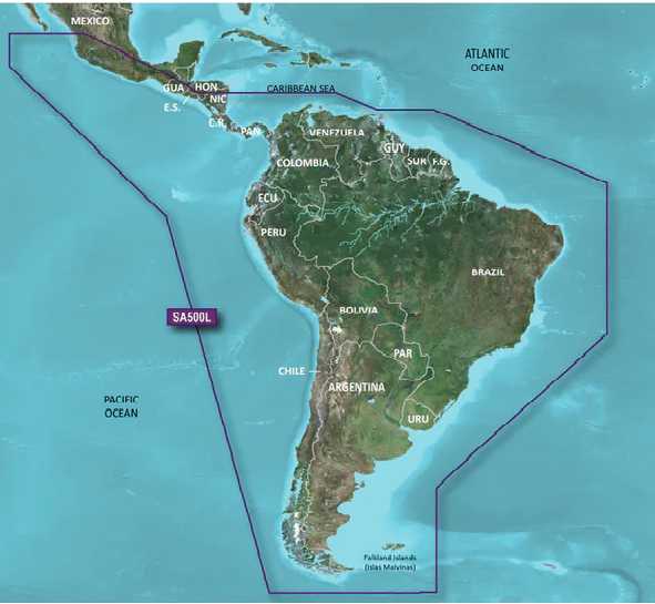
Garmin BlueChart g3 HD - HXSA600X - South America
€273.00
BlueChart® g3 HD - HXSA600X - South America - microSD™/SD™
Coverage:
Detailed coverage of the entire South American continent including the Amazon River; Lake Titicaca; Trinidad and Tobago; Easter Island; the Galapagos, San Felix, Juan Fernández and Falkland Islands (Las Malvinas). Coverage also includes the Panama Canal Zone; the Caribbean coast of Central America to Bluefields, NI; the Islas de San Andrés and the Pacific coast of Central America to Las Islas Revillagigedo, MX.
Our Advanced Chart Offering
Derived from official charts and private sources to provide navigational aids, spot soundings, depth contours, tides and currents, and detailed harbors and marinas
Depth Range Shading for up to 10 depth ranges enables you to view your target depth at a glance
Up to 1-foot contours provide a more accurate depiction of the bottom structure for improved fishing charts and navigation in swamps, canals and marinas
Shallow Water Shading feature allows for depth shading at a user-defined level to aid in navigation
Advanced Chart Detail
Detailed charts help the mariner guide their boat in and out of port with confidence.
Depth Range Shading
Displays high-resolution Depth Range Shading for up to 10 depth ranges so you can view your designated target depth.
Detailed Contours
BlueChart g3 HD features 1-foot contours that provide a more accurate depiction of bottom structure for improved fishing charts and enhanced detail in swamps, canals and port plans.
Coverage:
Detailed coverage of the entire South American continent including the Amazon River; Lake Titicaca; Trinidad and Tobago; Easter Island; the Galapagos, San Felix, Juan Fernández and Falkland Islands (Las Malvinas). Coverage also includes the Panama Canal Zone; the Caribbean coast of Central America to Bluefields, NI; the Islas de San Andrés and the Pacific coast of Central America to Las Islas Revillagigedo, MX.
Our Advanced Chart Offering
Derived from official charts and private sources to provide navigational aids, spot soundings, depth contours, tides and currents, and detailed harbors and marinas
Depth Range Shading for up to 10 depth ranges enables you to view your target depth at a glance
Up to 1-foot contours provide a more accurate depiction of the bottom structure for improved fishing charts and navigation in swamps, canals and marinas
Shallow Water Shading feature allows for depth shading at a user-defined level to aid in navigation
Advanced Chart Detail
Detailed charts help the mariner guide their boat in and out of port with confidence.
Depth Range Shading
Displays high-resolution Depth Range Shading for up to 10 depth ranges so you can view your designated target depth.
Detailed Contours
BlueChart g3 HD features 1-foot contours that provide a more accurate depiction of bottom structure for improved fishing charts and enhanced detail in swamps, canals and port plans.
You might also like

Buy YouTube Views
star
star
star
star
star
4.0/5
$30.00

Combating Neck Pain and Headaches: The Role of Posture Correction in Whiplash Rehab
star
star
star
star
star
4.0/5
$1,000.00
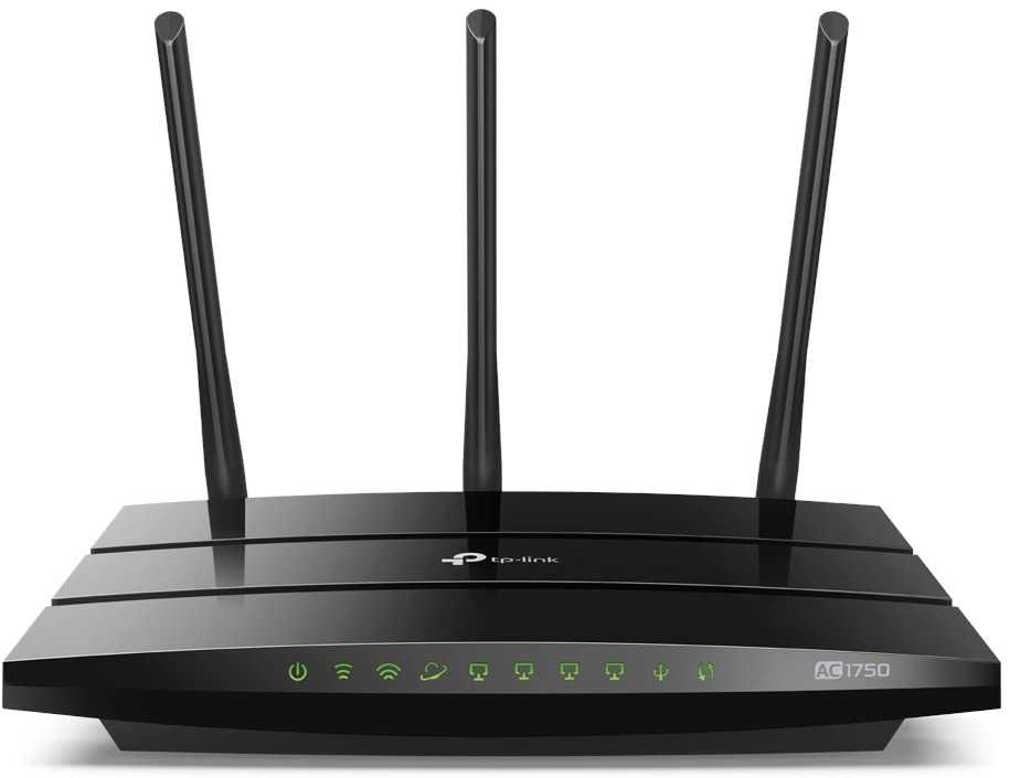
TP-Link AC1750 Smart WiFi Router
star
star
star
star
star
4.0/5
$64.99

Cybersecurity Excellence in Orange County for Business Protection
star
star
star
star
star
4.0/5
$0.00