

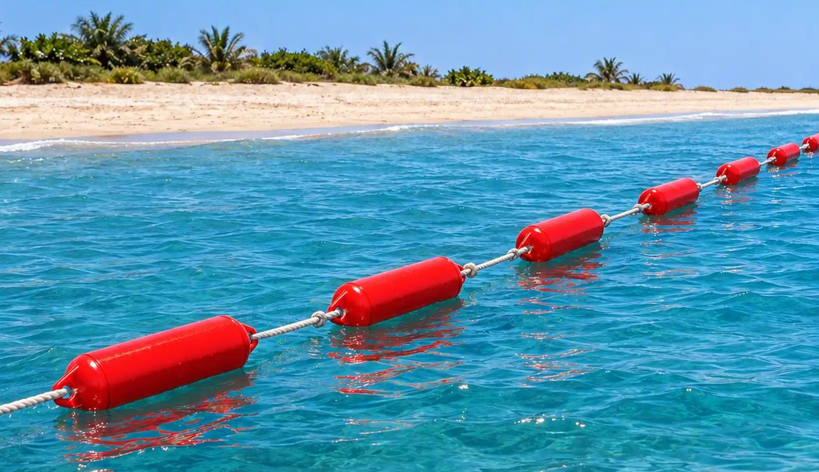
How Marine Demarcation Lines Enhance Coastal Safety in the UAE

Coastal waters are among the most heavily shared public spaces in any region. Swimmers, families, anglers, kayakers, boat operators and jet ski riders often occupy the same stretch of sea, each with different speeds, expectations and levels of risk awareness. Unlike roads or public parks, open water offers no natural boundaries to organise this activity. That gap is a significant source of preventable incidents.
Marine demarcation lines address it directly. By marking defined zones on the water's surface, they separate incompatible activities, communicate limits to users and give safety personnel a structured environment to supervise. A well-designed marine demarcation line UAE ↗ installation is a core element of responsible coastal management, supporting beaches, resorts, marinas and waterfront developments across the region.
This article examines how demarcation systems improve coastal safety, where they are most effective and what operators should consider when specifying them.
The Safety Challenge of Unmarked WaterOpen water is difficult to read. Distance is hard to judge from the shoreline, and even harder from inside the water. Currents and wind can move a swimmer well beyond their intended position without any sensation of travel. Boat and jet ski operators, meanwhile, often have limited visibility of swimmers, particularly in choppy conditions or glare.
Several recurring risks follow from this:
Swimmers drifting beyond supervised areas into deeper water or active traffic lanes.Motorised watercraft entering bathing zones at speed.Unauthorised access to hazardous or restricted areas, such as construction sites, intake structures or protected habitats.Overcrowding in unmanaged sections of beach during peak periods.Each of these risks can be reduced through clear, consistent visual boundaries. Demarcation does not remove the need for lifeguards, signage or public education, but it strengthens all three by giving them a physical reference point on the water.
How Demarcation Lines WorkA marine demarcation system consists of buoyant floats linked by a line or cable and secured to the seabed with anchors. The floats are typically produced in high-visibility colours, allowing the boundary to be seen from the shore, from the water and from approaching vessels. The value of the system lies in several functions that operate together.
Visual communication. A continuous line of floats conveys a limit instantly and without language. This is particularly important in tourist destinations, where users may not share a common language or familiarity with local conditions.Spatial separation. Boundaries keep different user groups apart, which is the most reliable way to reduce collision and conflict risk.Supervision support. Contained zones are easier to monitor. Lifeguards can focus on a defined area, identify swimmers in difficulty sooner and reach them faster.Risk management and accountability. Operators who install and maintain proper demarcation lines ↗ demonstrate a documented, visible commitment to user safety, which supports both public confidence and internal safety procedures.Defining Safe Bathing AreasThe most common application of marine boundaries is the designation of swimming zones. A properly defined bathing area establishes an outer limit that swimmers can recognise and respect, while signalling to vessel operators that the area is closed to traffic.
Swimming Demarcation Lines ↗ are engineered for this purpose. They allow operators to set the boundary of a swimming area according to water depth, seabed profile and expected user numbers. For hotels, beach clubs and public beaches with a high proportion of families, this is a practical way to keep inexperienced swimmers within safer, shallower and more closely supervised water.
Site assessment is essential to effective placement. Depth, tidal range, prevailing wind direction, wave exposure and proximity to boating channels should all inform the layout. A boundary positioned too close to shore reduces usable space, while one positioned too far out can expose swimmers to conditions beyond what the lifeguard team can reasonably cover.
Controlling Watercraft and Restricted ZonesWater sports contribute substantially to coastal tourism, but the interaction between swimmers and powered craft remains one of the most serious safety concerns on any beachfront. A jet ski travelling at speed has limited ability to stop or manoeuvre, and a swimmer has little opportunity to avoid it. The most dependable control is physical separation.
Restricted Area & Jet Ski Demarcation Barriers ↗ provide that separation. They are used to establish designated lanes for watercraft, to keep motorised traffic clear of bathing zones and to close off water that should not be entered by the public. Typical applications include:
Private beach frontage and resort water access.Construction and maintenance zones near the shoreline.Water intake and outfall areas.Environmentally sensitive or protected habitats.Areas with known underwater hazards.Barriers in these locations must perform under demanding conditions. They need to hold position against wind, waves and vessel wakes, remain visible in strong sunlight and resist degradation from prolonged exposure. A barrier that drifts or fails undermines the entire safety strategy, which is why float quality, anchoring and connecting hardware deserve as much attention as layout.
Selecting the Right Float SystemThe performance of a demarcation line depends significantly on the float type. Material, shape, buoyancy and durability all influence how well a system maintains visibility and position over time.
Seavoy Demarcation Floats ↗ are well suited to installations that require strong visibility and dependable stability, particularly across longer boundary lines or in busier waterfront environments. Their design supports consistent performance where the line must remain clearly defined from a distance.
EVA Demarcation Floats ↗ offer a lightweight, resilient alternative. EVA is valued for its durability and its softer surface, which makes it a practical choice for swimming areas where users are likely to come into regular contact with the line.
When evaluating options, operators should consider the following:
Exposure. Open coastlines require more robust systems than sheltered bays or lagoons.Climate. In the Gulf, intense UV radiation and high water temperatures place heavy demands on materials. Resistance to fading, cracking and brittleness is critical.User profile. A family beach, a marina and a water sports centre each present different risk profiles and contact levels.Maintenance capacity. Systems should match the inspection and replacement resources available to the operator.Matching the system to the environment from the outset reduces lifecycle costs and avoids the safety gaps that arise when inadequate products fail early.
Regional Considerations for the UAEThe UAE's coastline supports a wide range of activity, from public corniches and hotel beaches to island resorts, marinas and large waterfront communities. Favourable weather keeps people in and around the water for much of the year, which sustains a continuous demand for effective safety infrastructure.
This demand is particularly visible in Abu Dhabi, where public beaches, mangrove areas, hospitality developments and leisure destinations share the shoreline. In this setting, well-planned demarcation lines Abu Dhabi ↗ projects help authorities, developers and operators manage competing uses of the water while protecting visitors and sensitive areas.
Local conditions shape the technical requirements. Summer heat accelerates material ageing. Shamal winds can create sudden changes in sea state. Seasonal variations in visitor numbers require layouts that can be adjusted or expanded. Salt and humidity increase wear on connecting hardware. Suppliers with regional experience are better positioned to specify systems that account for these factors, rather than applying generic solutions designed for different climates.
Installation and Maintenance Best PracticeEven high-quality components depend on correct installation and ongoing care. The following practices support long-term performance.
Conduct a thorough site survey. Assess depth, seabed composition, currents and traffic patterns before finalising the layout.Select anchoring to suit the seabed. Sand, rock and mixed substrates hold anchors differently. Incorrect anchoring is among the most frequent causes of boundary drift.Establish an inspection routine. Regularly check floats, lines, connectors and anchor points for wear, damage or displacement.Maintain visibility. Replace faded or damaged floats promptly, as reduced visibility directly reduces the safety value of the boundary.Review layouts seasonally. Adjust positioning as user patterns, water conditions and operational requirements change.Documenting these inspections also supports internal safety audits and demonstrates a proactive approach to risk management.
ConclusionEffective coastal safety relies on layered measures, including trained personnel, clear signage, public awareness and well-designed infrastructure. Marine demarcation lines contribute to each of these layers by translating safety policy into a visible, physical form on the water.
By separating swimmers from watercraft, restricting access to hazardous areas and giving supervisors a manageable environment to monitor, demarcation systems reduce risk at the point where it is most likely to occur. For operators and developers across the region, investing in a properly specified, correctly installed and regularly maintained marine demarcation line UAE system is a sound and practical step toward safer, better-managed coastal spaces.